
Northern Ireland weekend weather: Keep your brolly, shades and shorts handy over the next few days
Today will be ‘a much drier and brighter day, but don’t expect it to be much warmer’.
Read more: Carla Lockhart MP warns £4m TB eradication fund must be 'spent wisely and show visible progress'
He adds that ‘whilst many areas will enjoy longer spells of sunshine’ winds will ‘be brisk along coasts’
‘With more sunshine around, it should feel a little warmer than yesterday, but temperatures are still below average for this time of the year’.
Meanwhile Alex says that it will be ‘drier and brighter for much of Saturday and Sunday’.
According to the Met Office Northern Ireland today began ‘dry with bright or sunny spells’ however ‘scattered showers will spread east from mid morning but will begin to clear as cloud increases towards the evening’
There will be a maximum temperature 15 °C.
Tonight, according to the Met Office ‘will be cloudy with a few showers, these mostly in the west’.


There will be ‘outbreaks of rain soon spreading north becoming widespread and heavy from around midnight’.
There will be a minimum temperature 10 °C.
And Saturday is expected to be ‘cloudy with widespread and heavy rain at first’.
But, ‘this rain will clear from the southwest to leave the area dry with sunny spells by the evening’.
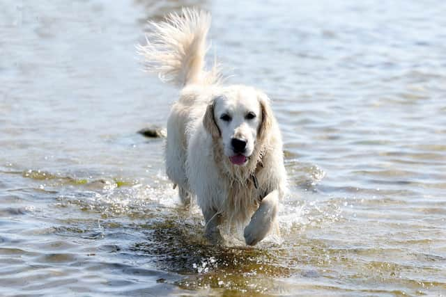
There will be a maximum temperature of 16 °C.
And the outlook for Sunday to Tuesday is: ‘Outbreaks of heavy rain pass northeast during Sunday.
‘This will be followed by bright or sunny spells and showers through the rest of the period’.
Looking further ahead, the forecast for Tuesday 9 Jun - Thursday 18 Jun is: ‘Changeable early in this period with Atlantic frontal systems moving across the UK.
‘These will bring showers or longer spells of rain at times, with wettest conditions in the northwest, drier in the southeast
‘Strong winds may affect parts of the UK at times, especially the northwest. Later in the period, higher pressure and more settled conditions may begin to become more prevalent, especially in the south.
‘There will probably still be some wet interludes though. Temperatures are likely to be near to or a little above normal overall’.
And the forecast for Friday 19 Jun - Friday 3 Jul is: ‘The start of the period is likely to be relatively settled for most of the UK.
‘High pressure is likely to be in the vicinity of the UK bringing drier conditions, especially to the south and east.
‘However some showers or spells of rain are still possible, particularly in the north and west.
‘Winds will mostly be light with temperatures probably above normal and it could be hot at times in the south.
‘Towards the end of June, low pressure may begin to have more of an influence, especially across the south where heavy showers and thunderstorms become more probable’.