
Possible heatwave conditions could be returning to Northern Ireland in coming days
Another possible heat wave awaits us later this week in Northern Ireland as Helen’s Bay scored 24.7 °C yesterday as our top temperature.
The Met Office in Northern Ireland say ‘this week will be warm across Northern Ireland, with highs expected to reach 24°C on Wednesday’.


Met Office Spokesman Natalia Wells adds that ‘temperatures in the mid-20s are expected to continue through the week and into the weekend, despite occasional cloudier conditions in some areas’.
‘The heat is likely to peak on Thursday and Friday, when temperatures could reach 25°C,’ she added.
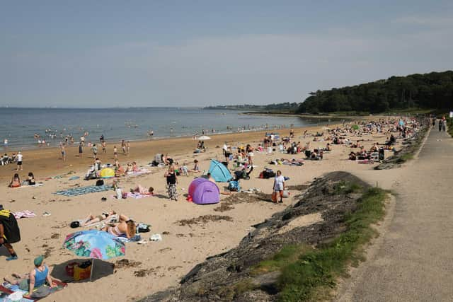
The warmth ‘is being brought by a large area of high pressure building across the UK from the south‑west, becoming dominant through mid‑week’.
‘This high pressure is allowing very warm air to spread northwards on Wednesday, giving way to plenty of sunshine and light winds,’ she added.
‘The pattern remains broadly similar as we move through the week, with high pressure continuing to dominate, and although temperatures in Northern Ireland won't be as extreme as further south, the warmth is expected to remain into the weekend, before easing slightly early next week into the low 20s’.
And there is bad news for hay fever sufferers with ‘pollen counts to remain high in Northern Ireland through this week and into the weekend’.
Meanwhile, Met Office Northern Ireland say today (Tuesday) after a cloudy morning, this afternoon ‘will be dry with some sunshine breaking through at times’. There will be a maximum temperature 22 °C.
And tonight, will be dry ‘with some late sunshine in the south and east’ and ‘then becoming cloudy overnight with the chance of a little drizzle in the north and west’.
There will be a minimum temperature of 13 °C.
Tomorrow (Wednesday), after a cloudy start, will be a dry day with some sunshine for the afternoon.
The Met Office say it will be ‘very warm’ with a ‘maximum temperature 24 °C’.
And the outlook for the rest of the week is that it will remain dry ‘with variable amounts of cloud and some bright or sunny spells’ and it will be ‘very warm or hot’.
The great weather news comes as heatwave conditions are expected by Met Eireann.
Forecasters are warning of potential heat stress as well as drought and wildfire concerns amid an upcoming “prolonged spell” of very warm or hot weather.
Met Eireann said the high temperatures will occur this week, lasting into next week, with heatwave conditions expected.
It said daytime high temperatures will “widely exceed” 25C and potentially get into the low 30s from Friday.
The UV index is also expected to be high to very high.
Warm and humid nights will occur, with temperatures staying above 15C and possible “tropical nights” in places over the weekend.
Met Eireann said there is also the chance of some thunderstorms later this week.
It said potential impacts include water safety issues due to increased use of waterways, lakes and beaches, and uncomfortable sleeping conditions as well as heat stress and dehydration.
It also said there are “potential drought concerns” and as well as “potential forest fires”.
The advisory begins on Wednesday and extends until Tuesday.