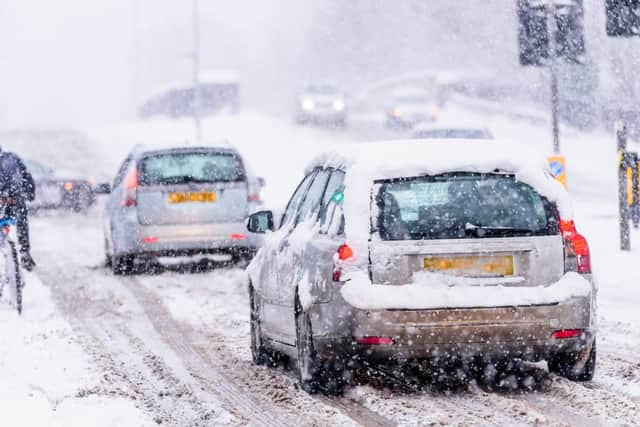
This is where snow will hit the UK this weekend - according to the Met Office


The UK has seen below freezing temperatures and heavy snow over the past few days, but will snow hit again this weekend?
Here’s the weekend snow forecast.
According to the Met Office forecast, Saturday (13 Feb) will be “dry for many but outbreaks of snow will develop over Northern Ireland during the morning and then spread into southwest England, Wales and western Scotland later.”
Advertisement
Advertisement
In the North West of England, “cloud will thicken during the morning with the odd snow flurry possible in the afternoon” on Saturday. It will also be windy throughout and feeling cold, with a maximum temperature of 2C.
The North East, East and Yorkshire are set to see sunshine during Saturday morning, which will likely turn hazy through the day. Cloud will also thicken as the day continues, but it is forecast to stay dry throughout.
London and the South East will remain cold on Saturday and it will feel “especially raw in the strong winds,” the Met Office said.
In the South West, it will be a “cloudy day with outbreaks of rain, sleet, and snow, moving eastwards across the region and easing through the day. A risk of freezing rain.”
Advertisement
Advertisement
Scotland will be a mainly dry day, especially in the east, with some good spells of sunshine. However, increasing cloud may bring some light snow to some areas of the country on Saturday.
In Northern Ireland, Saturday will be “cloudy with outbreaks of occasionally heavy snow spreading east, with a risk of freezing rain.” The snow will perhaps turn to rain at lower levels later.
The UK Met Office outlook for Sunday (14 Feb) to Tuesday (16 Feb) says it will be “windy with rain and hill snow spreading eastward on Sunday, freezing rain for many central and eastern areas. Milder Monday with a few showers before rain spreads eastward early Tuesday.”
What will the weather be like next week?
The UK is forecast to become generally mild next week, with warmer temperatures and less wintry conditions.
Advertisement
Advertisement
The Met Office said: “This period begins with temperatures much milder than as of late, with temperatures returning to around average/ slightly about average for most and with some mild spells being seen in the south and west.”
However, “the UK looks to be split broadly east and west in terms of the general weather types with the west being wet with strong winds at times, and the east being drier and finer,” added the Met Office.
Any snowfall is likely to be restricted to the Scottish mountains.
From 20 February onwards, there are signs of more widespread settled conditions becoming established. This would “correspond with temperatures falling back to below average, and with increased incidence of overnight frost and fog,” said the Met Office.